As the space programs expanded, the government acquired tens of thousands of acres around the cape
BREVARD CONTY, FLORIDA – Cape Canaveral and the central Florida coast were some of the first North American lands encountered by European explorers at the beginning of the 16th century. Spanish adventurers named the cape area Cañaveral, meaning canebrake. The area north of Cape Canaveral the Spanish called Los Mosquitos for the pesky, biting insect that still thrives in the area.
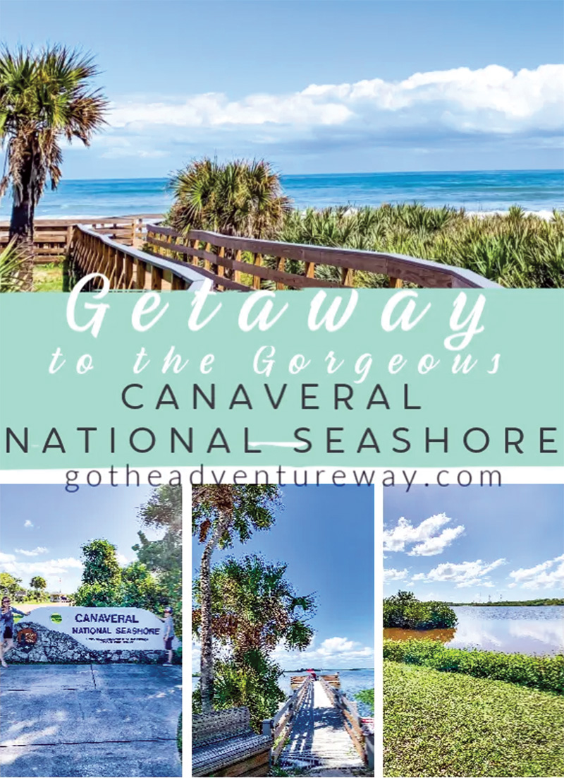
The 57,661 acres of Canaveral National Seashore are located on the Atlantic coast of Florida approximately 25 miles south of Daytona Beach and a bit more than 50 miles east of Orlando.
The Seashore has lands in both Brevard and Volusia Counties.
The communities of Edgewater and New Smyrna Beach are just beyond the Seashore’s northern boundary, Oak Hill adjoins the Seashore on the northwest, and Titusville lies just west of the southern boundary. Along the eastern edge of the Seashore is a narrow ribbon of barrier island.
Behind the island’s dunes, the estuary of Mosquito Lagoon washes the banks of the oceanfront island and of Merritt Island to the west, which is actually a peninsula extending south from Oak Hill and separated from the mainland by Indian River.
Canaveral National Seashore was authorized by the 93rd Congress in the Act of January 3, 1975 and a general statement of the Seashore’s purpose is included in Section 1 of the Act:
That in order to preserve and protect the outstanding natural, scenic, scientific, ecologic, and historic values of certain lands, shoreline, and waters of the State of Florida and to provide for public outdoor recreation use and enjoyment of the same, there is hereby established the Canaveral National Seashore.

The Seashore evolved out of lands acquired by the Federal government for the purpose of housing the facilities for its aerospace program at Cape Canaveral. A belt of vacant lands around the facilities was needed for safety and security so that today these lands are available for public recreation unless required by the aerospace program.
Although the needs of the space program may have been the immediate spur in the creation of the Canaveral National Seashore, the national seashore initiative dates to the 1930s.
As the NPS underwent substantial expansion after 1933, serious thought was given for the first time to setting aside undeveloped portions of the nation’s seashore as units of the National Park System, but prior to the country’s entry into World War II, only Cape Hatteras National Seashore had been authorized.
The rapid commercial development of beach communities following the war prompted the NPS in 1954 to undertake another survey to identify “outstanding stretches” of relatively undeveloped coastline in the eastern United States.
 Related Story:
BREVARD HISTORY: Last Naval Battle of American Revolution Fought Near Cape Canaveral March 10, 1783
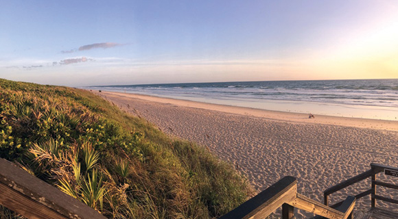
Some 126 areas were examined, with 16 identified as having the highest priority for acquisition by the government. The Mosquito Lagoon area that later became Canaveral National Seashore was among the 16. The report noted that the 24 miles of undeveloped beach, with vegetation approaching “the natural and primeval” were a rare commodity in Florida and that the area possessed great potential for recreation.
Designation of the seashore did not occur, however, until after the vast expansion of the U.S. space program in the 1960s. Cape Canaveral had been a United States missile testing site since 1950, and the National Aeronautics and Space Administration (NASA) began operations at Cape Canaveral in 1958.
As the space programs expanded, the government acquired tens of thousands of acres around the cape, and a portion of this acreage was set aside as a national wildlife refuge in 1964.
Mosquito Lagoon, extending along the backside of the Seashore’s barrier island, is separated from the northern reaches of the Indian River by an isthmus; the Haulover Canal allows boat traffic between the two bodies of water.
Mosquito Lagoon and its many small islands account for two-thirds of the Seashore’s acreage. The lagoon is one of the most diverse estuaries on the entire eastern seaboard and has been designated by the Environmental Protection Agency as an Estuary of National Significance. Mosquito Lagoon has also been declared an Outstanding Florida Water by the State of Florida.
In the realm of superlatives, Canaveral National Seashore is home to more Federally protected species of plants and animals than any national park except Everglades, and it has the longest undeveloped stretch of oceanfront left along the east coast of Florida.
The barrier island system in the vicinity of Mosquito Lagoon is of relatively recent origin, having formed six to eight thousand years ago. Elevation of Merritt Island between the lagoon and Indian River ranges from 2 to 15 feet above sea level. Soils are sandy in
composition. The major vegetation regimes within the Seashore are hammock,3 pine flatwoods (west of the lagoon), scrub, palmetto prairie and marsh.
Many areas of swamp and marshland have been drained since 1900. Annual precipitation in the area averages 54 inches, and although the climate is subtropical, the area is subject to periodic droughts and occasional winter freezes.

 Related Story:
HOT OFF THE PRESS! January 15, 2024 Space Coast Daily News – Brevard County’s Best Newspaper
The post BREVARD HISTORY: Canaveral National Seashore Has Cultural Resources that Reflect Florida History Since 2000 BC appeared first on Space Coast Daily.